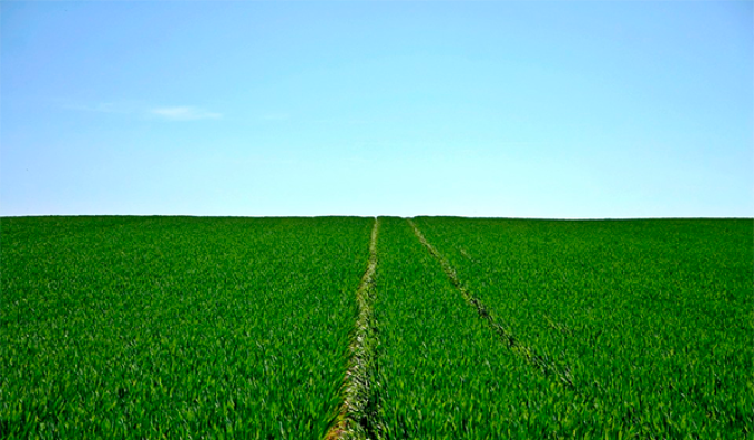
Open digital agricultural maps are being created in Kazakhstan to ensure transparency in land-use procedures. Specifically, the current goal is to ensure the transparent distribution of 7.5 million hectares of land seized from unscrupulous land users. This was announced by Prime Minister Olzhas Bektenov in response to a Majilis deputy's inquiry.
"Today, the verification of all orthophotomaps has been completed, resulting in an official certificate confirming the absence of information constituting a state secret. In accordance with the relevant government resolution of the Republic of Kazakhstan (dated March 14, 2023, No. 208 "On the Establishment of State Reporting Systems and Cartographic Projections"), digital agricultural maps covering a total area of 190.175 million hectares, representing 77.5% of the country's territory, have been converted to an open format. Completion of all work and full integration of the maps are planned for the end of 2025," the Prime Minister stated.
Furthermore, the modernized state land cadastre information system is planned to be launched this year. According to Olzhas Bektenov, the new geoportal will contain open digital agricultural maps and up-to-date electronic land quality maps.
"This platform will ensure transparency and open access to land data, improve the efficiency of state land management, create a digital foundation for agribusiness, and promote increased crop yields and investment attractiveness in agriculture," the head of government noted.
The response emphasizes that these measures are aimed at ensuring the fair and rational use of returned lands and increasing their accessibility for the rural population.
As a reminder, Kazakhstan has been seizing unused agricultural lands or those allocated in violation of the law since 2022. During this time, 13.7 million hectares have been returned to state ownership, 6.2 million hectares of which have already been redistributed to local residents. The remaining 7.5 million hectares are designated as reserve lands and are not yet used for agricultural purposes.
According to Olzhas Bektenov, detailed plans for the redistribution of these lands by region have been developed. At the same time, information on the actual shortage of pasture lands has been communicated to the akimats so that the needs of local residents for grazing land are taken into account when approving the redistribution plans. According to the president's instructions, the redistribution of the remaining 7.5 million hectares is planned to be completed by mid-2026.